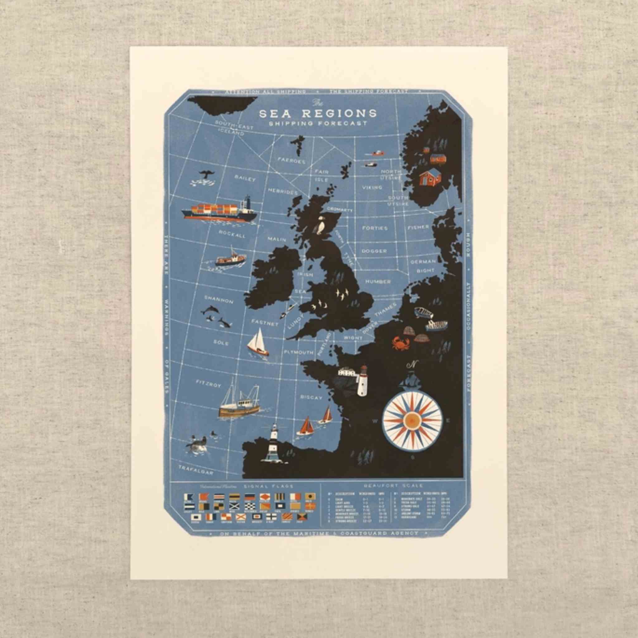
A vintage-style illustrated nautical chart poster showing a blue ocean with dark landmasses, small ships, boats, and a compass rose.
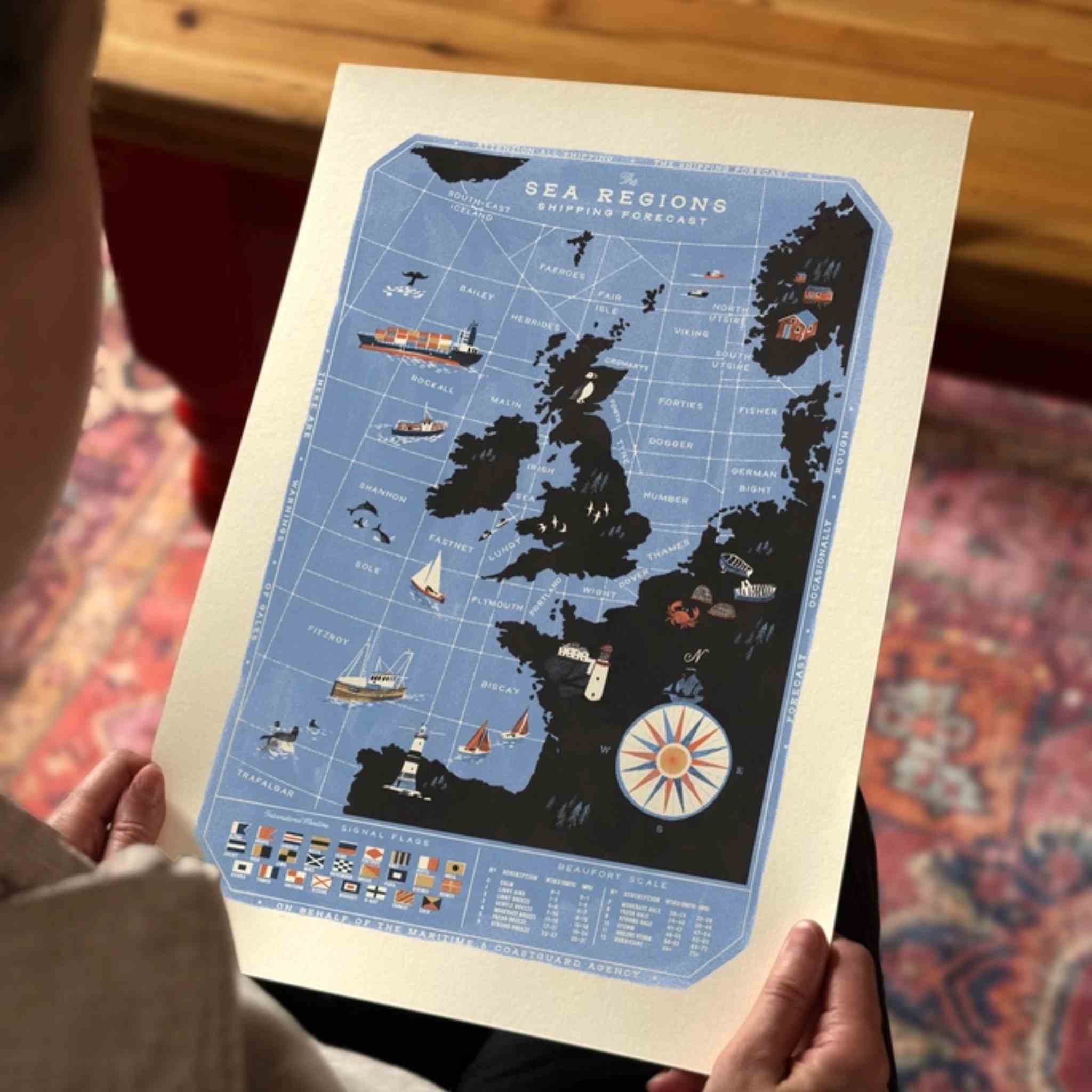
A person holds a vintage-style illustrated poster showing a blue sea regions map with black landmasses and nautical illustrations.
A hanging wall poster showing a stylized blue map of the UK and Ireland with illustrated ships and boats, mounted in a light wood frame on a beige paneled wall.
A vintage-style illustrated nautical chart poster showing a blue ocean with dark landmasses, small ships, boats, and a compass rose.
A person holds a vintage-style illustrated poster showing a blue sea regions map with black landmasses and nautical illustrations.
A hanging wall poster showing a stylized blue map of the UK and Ireland with illustrated ships and boats, mounted in a light wood frame on a beige paneled wall.

The Sea Regions of the United Kingdom | A3 Map Print

£20.00
Tax included.

A detailed illustrated map of the sea regions of the United Kingdom and Ireland, as featured in the Shipping Forecast. Designed by Oldfield Design Co, it also includes the Beaufort Scale and International Maritime Flags, making it a great choice for sailors, coastal homes and anyone fascinated by life at sea.

Printed in Cumbria on quality ivory card, this A3 print is ready to frame and makes a thoughtful gift for sailing and coastal enthusiasts.

Details:

  • Illustrated map of UK & Ireland sea regions
  • Features the Shipping Forecast regions
  • Includes Beaufort Scale and International Maritime Flags
  • Designed by Oldfield Design Co
  • A3 size: 29.7 x 42cm
  • Made in Cumbria, UK
  • Fully plastic free

Pairs well with